INTRODUCING
BOOKINGS ON WIKICAMPS
Maiyingu Marragu (The Hands) Camp Ground
Description
Maiyingu Marragu (The Hands) has Aboriginal rock shelters with painted art, a teaching site and occupation site.
Situated on the western edge of the Newnes Plateau, the area lies within an amphitheatre of cliffs at the head of a tributary of the Coxs River. The area's sheltered slopes and gullies support a vegetation of eucalypt forest. The area is accessed via the Blackfellows Hand Trail, an unsealed fire trail.
Maiyingu Marragu (The Hands) is located on Crown land reserved for public recreation. The Aboriginal place is almost entirely surrounded by state forest - Ben Bullen State Forest to the east and Newnes State Forest to the west.
There are no facilities at this site. Campers must be self-sufficient. Take all rubbish with you and leave no trace.
There are no toilet facilities at this site. If you do not have your own toilet, bury human waste at least 100m from tracks and water bodies. Bury toilet paper or bag and dispose of in a bin once you leave the site.
Stay on designated tracks and do not damage or cut down trees.
Find this site and more on WikiCamps
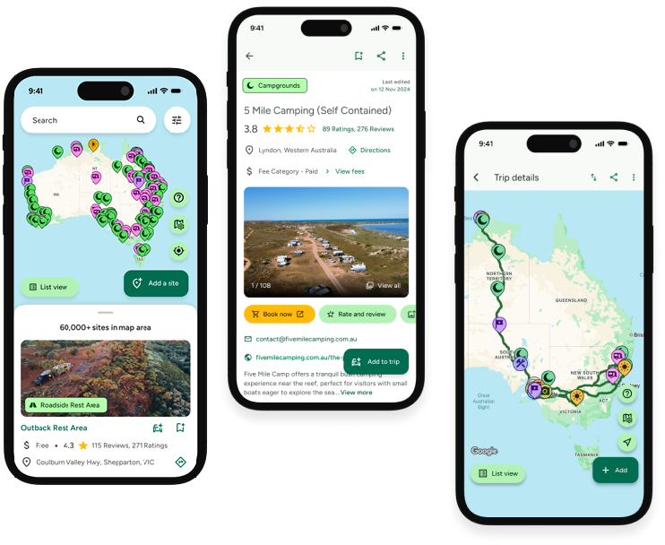
Take the ultimate camping companion on your next trip, with these great features:
![]() Explore more than 60,000 sites across Australia with detailed site information at your fingertips
Explore more than 60,000 sites across Australia with detailed site information at your fingertips
![]() Stay in the know with exclusive, insightful reviews from fellow travellers
Stay in the know with exclusive, insightful reviews from fellow travellers
![]() Map journeys, plan your route, and gauge your fuel spend with Trip Planner
Map journeys, plan your route, and gauge your fuel spend with Trip Planner
![]() No signal? No worries! Use offline mode to travel anywhere with WikiCamps
No signal? No worries! Use offline mode to travel anywhere with WikiCamps
![]() Add sites to your collections, search with intuitive filters, and so much more...
Add sites to your collections, search with intuitive filters, and so much more...

Get WikiCamps now!
Download WikiCamps from the App Store on your device.

