INTRODUCING
BOOKINGS ON WIKICAMPS
Bennett's Beach
Description
Also known as Hawks Nest Beach, Bennetts Beach is an isolated 14.3km long strip of sand on the Myall Coast.
Popular with surfers, swimmers and sunbathers, the beach runs between Seal Rocks in the north and Yakaba Headland in the south.
Dogs can go off leash a few kilometres north of Sanderling Avenue and further south towards Yacaaba Headland.
Mount Yakaba (Yacaaba) Walking Track: The challenging 7km return walking trail starts at the southern end of Bennetts Beach and brings you all the way to the top of Mount Yakaba.
Certain parts of Bennetts Beach are accessible for 4WD vehicles. Follow Mungo Brush Rd towards Dark Point and youll find a few signed 4WD tracks that lead to the beach.
Find this site and more on WikiCamps
Take the ultimate camping companion on your next trip, with these great features:
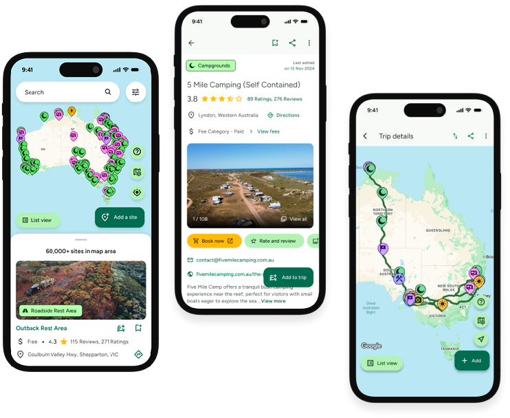
![]() Explore more than 60,000 sites across Australia with detailed site information at your fingertips
Explore more than 60,000 sites across Australia with detailed site information at your fingertips
![]() Stay in the know with exclusive, insightful reviews from fellow travellers
Stay in the know with exclusive, insightful reviews from fellow travellers
![]() Map journeys, plan your route, and gauge your fuel spend with Trip Planner
Map journeys, plan your route, and gauge your fuel spend with Trip Planner
![]() No signal? No worries! Use offline mode to travel anywhere with WikiCamps
No signal? No worries! Use offline mode to travel anywhere with WikiCamps
![]() Add sites to your collections, search with intuitive filters, and so much more...
Add sites to your collections, search with intuitive filters, and so much more...

Get WikiCamps now!
Download WikiCamps from the App Store on your device.

