INTRODUCING
BOOKINGS ON WIKICAMPS
Geilston Bay Walking/cycling Trail
Description
This is also the Clarence foreshore trail. This trail is fantastic for cycling or walking (dogs included) and is easy with spectacular views. It goes all the way to tranmere and you can go as far as you want and do it in sections. It's an amazing trail.
Start from carpark at Debomfords Lane off the East Derwent Highway in Geilston Bay.
Cross the bridge over Faggs Creek and walk along the edge of Geilston Creek Road until you reach a map board sign. A well-graded gravel track follows the water before an intersection is reached with the takara limuna / Sheoak Walk. Continue to the right, gently climbing through the open grasslands dotted with occasional eucalypts until the track starts descending towards Shag Bay. Ignore the trails under the transmission lines heading up the hill.
There is a short but steep section into Shag Bay at the end.
The area is rich in Aboriginal middens as it was one of the shortest crossing distances over the Derwent River. The last part of the walk is located in the East Risdon Nature Reserve and dogs are not permitted. Please obey signs.
Find this site and more on WikiCamps
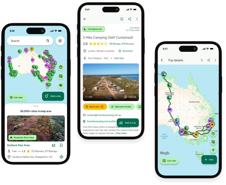
Take the ultimate camping companion on your next trip, with these great features:
![]() Explore more than 60,000 sites across Australia with detailed site information at your fingertips
Explore more than 60,000 sites across Australia with detailed site information at your fingertips
![]() Stay in the know with exclusive, insightful reviews from fellow travellers
Stay in the know with exclusive, insightful reviews from fellow travellers
![]() Map journeys, plan your route, and gauge your fuel spend with Trip Planner
Map journeys, plan your route, and gauge your fuel spend with Trip Planner
![]() No signal? No worries! Use offline mode to travel anywhere with WikiCamps
No signal? No worries! Use offline mode to travel anywhere with WikiCamps
![]() Add sites to your collections, search with intuitive filters, and so much more...
Add sites to your collections, search with intuitive filters, and so much more...

Get WikiCamps now!
Download WikiCamps from the App Store on your device.

