INTRODUCING
BOOKINGS ON WIKICAMPS
Datjoin Rock & Well
Description
The Wheatbelt Way Site 12
Datjoin Well and Rock reserve has several unique rock formations located east of Beacon, an area opened to pastoral leases as far north as Datjoin in 1872 and the well was dug in early 1900s by sandalwood cutters.
During the winter and spring months of July to October Datjoin Reserve is a popular picnic and tourist camp spot for travellers as well as those looking to find some of the best orchids and wildflowers the region has to offer. Beacon locals also frequent the area, having enjoyed many years of picnicking and socialising in years past at Datjoin. Datjoin had a brief brush with the law back in 1971 when lionel Brockman, an aboriginal West Australian, escaped from Woorooloo Prision and used the reserve as a hideout for him, his wife and 12 of their children.
Travel 18kms east of Beacon on Burakin/Wialki Road to the narrow track entrance to the Datjoin Well and camping areas, accessible to cars/4wds/camper trailers only, no caravans. Camp fires allowed April September. Access to Datjoin Rock is another 2 kms eastwards on Clark Rd on the left at the top of the rise. No access to large vans. Track into Datjoin is ok for 2WD vehicles and camping is allowed for camper trailers and tents.
Find this site and more on WikiCamps
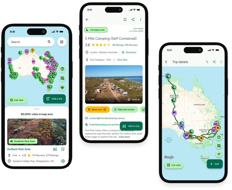
Take the ultimate camping companion on your next trip, with these great features:
![]() Explore more than 60,000 sites across Australia with detailed site information at your fingertips
Explore more than 60,000 sites across Australia with detailed site information at your fingertips
![]() Stay in the know with exclusive, insightful reviews from fellow travellers
Stay in the know with exclusive, insightful reviews from fellow travellers
![]() Map journeys, plan your route, and gauge your fuel spend with Trip Planner
Map journeys, plan your route, and gauge your fuel spend with Trip Planner
![]() No signal? No worries! Use offline mode to travel anywhere with WikiCamps
No signal? No worries! Use offline mode to travel anywhere with WikiCamps
![]() Add sites to your collections, search with intuitive filters, and so much more...
Add sites to your collections, search with intuitive filters, and so much more...

Get WikiCamps now!
Download WikiCamps from the App Store on your device.

