INTRODUCING
BOOKINGS ON WIKICAMPS
Steep Point Official Marker
Description
Steep Point is the most westerly point on mainland Australia. The Dutch seafarer William de Vlamingh named Steyle Hock (Steep Point) in 1697 when anchored off the cliffs near the southern tip of Dirk Hartog Island.
Steep Point lies within the proposed Edel Land National Park which extends to just south of False Entrance and encompasses much of Belefin Prong. Limestone cliffs rising 200 metres above the Indian Ocean on the western side of Edel Peninsula are backed by sweeping white sand dunes and secluded beaches on the eastern side.
Pets are not allowed at Steep Point and Edel Land.
Steep Point can only be accessed by high clearance four-wheel drive vehicle or by boat.
It is about 185km by road from the Northwest Coastal Highway to Steep Point, including 140km of unsealed road. The last 30km is a soft single-lane track winding around sand dunes. It is essential to lower tyre pressures to 20psi or less to avoid becoming bogged in this remote area. The drive to Steep Point from Denham takes about three to four hours.
Find this site and more on WikiCamps
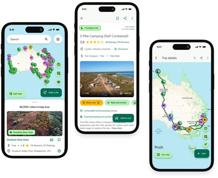
Take the ultimate camping companion on your next trip, with these great features:
![]() Explore more than 60,000 sites across Australia with detailed site information at your fingertips
Explore more than 60,000 sites across Australia with detailed site information at your fingertips
![]() Stay in the know with exclusive, insightful reviews from fellow travellers
Stay in the know with exclusive, insightful reviews from fellow travellers
![]() Map journeys, plan your route, and gauge your fuel spend with Trip Planner
Map journeys, plan your route, and gauge your fuel spend with Trip Planner
![]() No signal? No worries! Use offline mode to travel anywhere with WikiCamps
No signal? No worries! Use offline mode to travel anywhere with WikiCamps
![]() Add sites to your collections, search with intuitive filters, and so much more...
Add sites to your collections, search with intuitive filters, and so much more...

Get WikiCamps now!
Download WikiCamps from the App Store on your device.

